


Info
HoudahGeo 5.4.2 / 6.0.1: Know where you took the photo! HoudahGeo is a photo geocoding and geotagging solution made for Mac OS X. They “pin” photographs to the locations where they were taken. Just like a GPS-enabled camera, HoudahGeo can store latitude, longitude and elevation information directly in the image file. HoudahGeo writes industry-standard EXIF, XMP and IPTC tags to JPEG and RAW images without recompression or loss of quality.
Appearance. To organise. Find it!
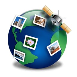
Geotags link your photos to geographic locations. View your photos on a map. Use your favorite photo cataloging tools to organize and find photos by location.
Prepare your photos for the future with geotags. HoudahGeo writes EXIF, XMP and IPTC metadata tags to JPEG and RAW image files. Industry standards ensure that information can be used by a wide range of software and services.
Geotagging is essential for professionals who need to know and show where photos were taken. For example, documenting wildlife migration, detecting structure damage, developing real estate listings, etc.
Automatic Geocoding
Use a GPS device, track recorder, or your phone to record a GPS track. HoudahGeo matches your photos with data points in the itinerary.
HoudahGeo reads many common track record file formats: GPX, NMEA, Garmin FIT, Wintec TES, etc.
HoudahGeo can also connect to a wide variety of GPS devices. Download the trial version to check if your device is supported.
Geocoding Your Photos Without GPS
Use the built-in map to double-check, adjust, or assign it to your locations. Drag images to map locations for quick geocoding.
HoudahGeo also connects to Google Earth, where you can select locations around the world.
Use your iPhone or GPS-enabled camera to take geotagged reference photos. HoudahGeo uses these to geocode photos taken within the same time period.
Use HoudahGeo Places to quickly assign coordinates and location names to photos taken in your favorite spots.
Viewing and Updating Metadata
HoudahGeo saves metadata in industry standard EXIF, XMP and IPTC metadata tags without recompression or loss of quality.
HoudahGeo works with JPEG and many RAW file formats. It also supports XMP sidecar files.
Use HoudahGeo to add location names, titles, descriptions and keywords to your photos.
Reverse geocoding populates city, province and country names.
Browse the Apple Photos, iPhoto, Aperture, and Adobe Lightroom libraries. Access both edited versions and original image files.
Notify iPhoto or Aperture of updated places information.
Show Photos in Context Travel
See your photos set along your path.
Create KMZ or KML files from GPS tracks and photos. View them using Google Earth or Google Maps.
Imagine you are going on a safari. Return home and get a bird's eye view of your journey. Find the exact tree where the leopard is perched
System Requirements
Mac OS X 10.10 or later
Download Links
Turbobit 46 MB .zip


Add Comment